
 Inquiry Hotline:
+8613822112459
Inquiry Hotline:
+8613822112459

|
|
Current Location: Home >> Engineering Services >> Aids to Navigation Engineering >> AtoN Informatization Engineering
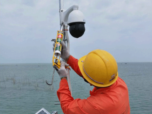
Overview of Fishery Navigation Aid Informatization: Fishery Navigation Aid Informatization Engineering Cases:
|


|
Address:Room 3005, No.26 Kaitai Avenue, Huangpu District, Guangzhou, China
Mobile:+8613822112459 Copyright © Guangzhou Suningsea Technology Co., Ltd. All Rights Reserved. ICP Registration No.:
粤ICP备09127193号
Scan to Add WeChat |